File:Aerial view of Sule Pagoda Road in downtown Rangoon, Burma (c. 1930).png
From BoyWiki
Size of this preview: 800 × 501 pixels. Other resolution: 1,024 × 641 pixels.
Original file (1,024 × 641 pixels, file size: 868 KB, MIME type: image/png)
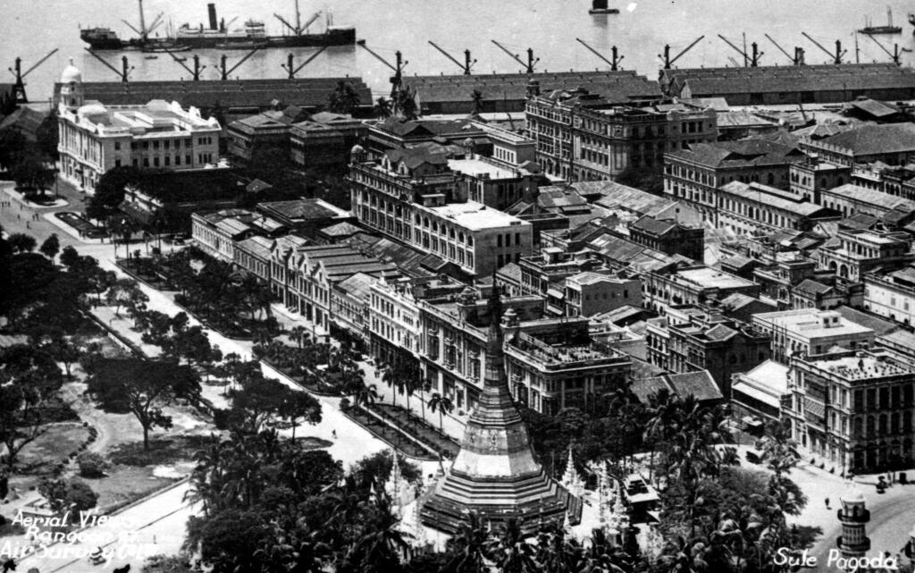
Description: Aerial view of Sule Pagoda Road in downtown Rangoon, Burma (c. 1930).
File history
Click on a date/time to view the file as it appeared at that time.
| Date/Time | Thumbnail | Dimensions | User | Comment | |
|---|---|---|---|---|---|
| current | 00:07, 19 May 2018 | | 1,024 × 641 (868 KB) | Dandelion (talk | contribs) | Description: Aerial view of Sule Pagoda Road in downtown Rangoon, Burma (c. 1930). Category:Foto - Photo - Foto - Photo |
You cannot overwrite this file.
File usage
There are no pages that use this file.

.png)
.png&action=edit&redlink=1)
.png&action=edit)
.png&action=history)
.png&oldid=6448)
.png)
.png)
.png&oldid=6448)
.png&action=info)